Discover the Walks around Whakatane
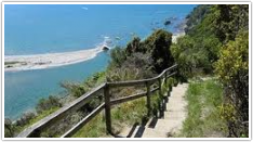
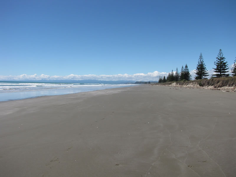
Nga Tapuwae o Toi, or the “Footprints of Toi”, is a walkway which captures the essence of the Whakatane district.
It includes pa sites of major historic significance, superb native forest, spectacular pohutukawa stands, unsurpassed coastal views, seabird colonies, forest birds in abundance, plantation forest and rural vistas.
The walkway is a accessible to most people, regardless of fitness level because it can be undertaken in sections or as a 16 kilometre round trip. Information boards placed in strategic locations tell much more of the district’s natural and historic heritage.
Name of Walk - Distance - Time
River Walk - 4.0km - 2hrs
Information Centre to Toi’s Pa - 1.4km - 45mins
Toi’s Pa to Ohope Beach West End - 4.2km - 2.5hrs
West End to Ohope Scenic Reserve Car Park - 1.4km - 45mins
Fairbrother Loop Walk - 1.4km - 1hr
Ohope Scenic Reserve Car Park to Burma Rd - 2.6km - 1.25hrs
Burma Road to White Horse Junction - 3.1km - 1.5hrs
White Horse Junction to Mokorua Gorge Car Park - 2.7km - 1.25hrs
Mokorua Gorge Car Park to Info Centre - 1.8km - 5mins


